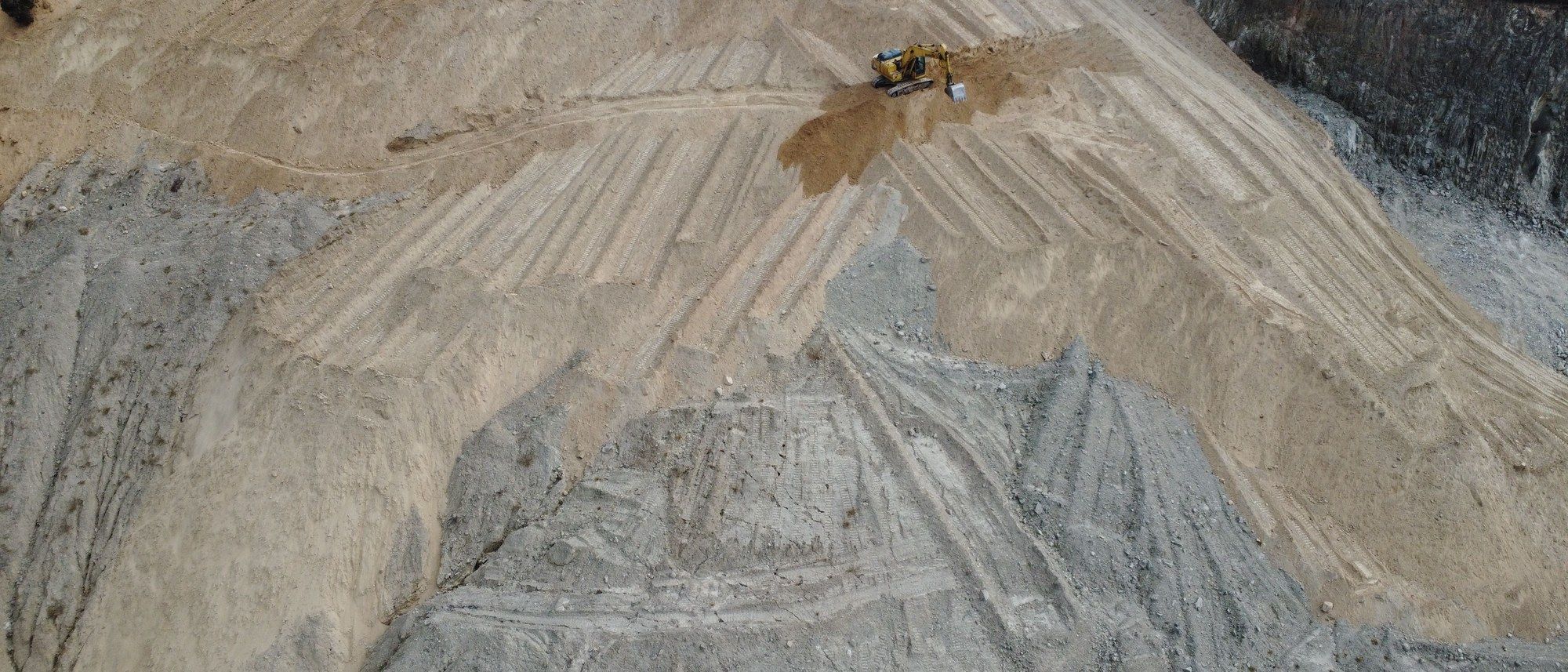
First in the story: raw and undeveloped land
Raw land and subdivision investigation
The first look under a parcel that has never carried a building: a grid of test holes across raw or subdividing land that tells you what can be carved, serviced, and founded before a single lot line is drawn.
What this is
The work, and what it answers
A raw-land or subdivision investigation is the first geotechnical look under ground that has never been built on: a quarter section in the middle of nowhere headed for an off-grid acreage, or a larger parcel being planned as a full subdivision. Before that land can be carved into lots and serviced, someone has to know what is actually beneath it. That is what this investigation delivers.
It is done before the land is subdivided or serviced for a simple reason: almost every downstream decision depends on the ground. Where the roads and deep utilities can run, how deep a stormwater pond can sit, whether basements are feasible, whether private sewage fields will work, how lots should be graded, and what foundations the future homes will need are all set by the soil and groundwater found. Guessing at that stage is expensive to unwind once lot lines and servicing are approved.
This is the first investigation in a longer story. The same holes that map the parcel also show which specialist reports the ground is going to trigger next, most often a stormwater management report where drainage or a pond governs, and a slope stability and setback report where a coulee, bank, or escarpment is in play. Those are flagged early so nothing surprises you at approval stage.
Andrground Engineering is an Alberta practice serving southern and central Alberta. Every investigation on this page is logged, analysed, and sealed by a Professional Engineer registered with APEGA.
Method
What a raw-land or subdivision investigation is
It is a planned pattern of test holes, drilled and sampled across the whole parcel rather than at one building spot, that builds a three-dimensional picture of the soil and groundwater. On a single lot you drill where the house will go. On raw or subdividing land you do not yet know where anything will go, so you sample the parcel systematically and let the data shape the layout.
The scope is set by the governing municipal servicing standard for the land in question. In southern and central Alberta that is commonly a county or municipal servicing standard (for example, Rocky View County's servicing standards), which sets the geotechnical testing and reporting required to support a subdivision, often including a grid pattern and hole spacing scaled to the parcel. The program is worked to whatever standard governs your parcel, and that standard is named in the report.
- Systematic, not spot: a grid across the parcel, not a single foundation hole.
- Spacing and count set by the governing municipal servicing standard, not by a house rule.
- Piezometers or standpipes set in representative holes for groundwater.
- Built to hand off cleanly to lot-grading, servicing, and (where triggered) stormwater and slope reports.
A worked example: a quarter section on a grid
Take a quarter section, roughly 800 m by 800 m (about 160 acres). Overlay a regular grid at the kind of spacing county servicing standards tend to call for, roughly 175 to 200 m across a parcel like this, and you land on the order of 25 test holes, arranged so no corner of the future subdivision is left unsampled. The governing standard sets the real spacing; the figure here is only illustrative arithmetic.
Each hole is advanced, continuously logged, and sampled, and piezometers or standpipes are installed in representative holes so groundwater can be read now and monitored seasonally. Where the parcel steps down into a bank, a coulee, or an old slough, holes are added or shifted to catch the feature. The exact spacing, count, and depths are governed by the standard that applies to your parcel, which is why that standard is named in the report rather than a universal number being quoted.
- Parcel: one quarter section, about 800 m by 800 m (roughly 160 acres).
- Grid: illustrative spacing of roughly 175 to 200 m; the real figure is set by the governing municipal servicing standard.
- Result: on the order of 25 test holes in a regular pattern across the quarter.
- Each hole: continuously logged and sampled; piezometers or standpipes set in representative holes for groundwater.
- Adjusted for terrain: extra or shifted holes where banks, coulees, or wet areas appear.
What is measured, and why it matters
Every hole feeds the same short list of questions. Get these right across the whole parcel and the layout, servicing, and foundations follow.
Where a private sewage system is planned, suitability rests on the soil profile itself, its texture and structure, and on the separation between the future dispersal field and the seasonal high water table or other restricting layer, described to the Canadian System of Soil Classification. That is a soil-based determination, not a percolation test. A private sewage system also carries its own site evaluation under the Alberta Private Sewage Systems Standard of Practice, at least two soil profiles with one an excavated test pit, and is designed and installed by a certified private sewage contractor working from ground data of this kind.
| Data captured | How it is obtained | Why it matters |
|---|---|---|
| Stratigraphy (the soil profile) | Continuous logging with Standard Penetration Testing (ASTM D1586); soils classified to USCS (ASTM D2487 / D2488) | Sets the overall layout, cut-and-fill balance, and the founding stratum for future homes |
| Groundwater | Piezometer or standpipe in selected holes, read now and seasonally | Governs basement feasibility, servicing and trench depth, dewatering, and private-sewage separation |
| Bearing and strength | SPT N-values in the field; strength and consolidation testing in the lab | Sets allowable bearing pressure, settlement expectations, and footing sizing |
| Corrosivity | Sulphate, chloride, resistivity, and pH on soil and water samples | Sets the concrete exposure class (per CSA A23.1) and protection for buried metal utilities |
| Excavation conditions | Soil type, hardness or ripability, groundwater inflow, and frost depth | Governs trench-wall safety (Alberta OHS Code Part 32), shoring, bedding, and construction access |
How deep the holes go: subdivision versus single residential
Depth is not a fixed number; it is set by what the ground has to carry and by the governing standard. A single house footprint only needs to be understood to the depth its footings influence. A subdivision has to be understood to the depth of its deepest servicing and its ponds, which is why subdivision holes typically go deeper than a one-lot investigation. The figures below are typical ranges, and the report states the actual target depths and the standard that governs them.
| Investigation | Typical target depth | What sets it |
|---|---|---|
| Single residential lot / house footprint | Commonly on the order of 5 to 6 m, or deeper where a basement or a weak layer governs | Depth of foundation stress influence below the footings (CFEM); NBC 2023 Alberta Edition, Parts 4 and 9 |
| Subdivision lots (the grid) | Typically 6 to 10 m per hole, deeper where basements or soft ground are found | The founding stratum plus the depth of servicing across the parcel |
| Roads and deep utilities | To and below the deepest planned pipe invert | Trench and bedding depth, and any groundwater at that level |
| Stormwater pond and deep-fill areas | Deeper again, below the pond base and into the seepage zone | Pond depth, soil permeability, and stability of the pond walls |
| Piezometer standpipes | Set below the anticipated water table | Seasonal groundwater monitoring across the site |
What the report delivers, and what it triggers
The deliverable is a single sealed report that turns the grid of holes into design input. It gives you the subsurface model for the parcel, the groundwater regime, allowable bearing and foundation guidance for the future homes, lot-grading and servicing input, and the excavation and corrosivity conditions your contractors and utility designers need.
It also does something a single-lot report cannot: it tells you which specialist investigations the ground has just triggered. Raw and subdividing land is exactly where the next reports in the sequence get set off.
- Subsurface model of the parcel: stratigraphy and groundwater mapped across the grid.
- Foundation guidance: allowable bearing, frost and basement feasibility, settlement notes for future lots.
- Lot-grading and servicing input: cut-and-fill, subgrade, trench and dewatering conditions.
- Corrosivity and concrete guidance: exposure class and buried-utility protection.
- Trigger: a stormwater management report where drainage, infiltration, or a pond governs.
- Trigger: a slope stability and setback report where a coulee, bank, or escarpment and its top-of-bank setback are in play.
How it is run
Before a rig turns, buried utilities are located through Utility Safety Partners (Click Before You Dig), and excavation and any test pits follow Alberta OHS Code Part 32. Field logging and sampling follow the ASTM methods above, classification follows the USCS, and interpretation follows the Canadian Foundation Engineering Manual, the National Building Code (2023 Alberta Edition), and the Geotechnical Investigation Guidelines for Alberta Infrastructure Projects, alongside the governing municipal servicing standard.
Every report is logged, analysed, and sealed by Andrew Richardson, P.Eng., to APEGA practice standards for authenticating professional work. To scope an investigation for a parcel in southern or central Alberta, call 403 700 8672 or email andrew@andrground.com with the legal land description and what you are planning to do with the land.
- Utility locates first, then drilling and any test pits under OHS Code Part 32.
- Field and lab work to the cited ASTM, USCS, CFEM, and NBC references.
- Grid, spacing, and depths worked to the governing municipal servicing standard, named in the report.
- Logged, analysed, and sealed by an APEGA-registered P.Eng.
Logged and sealed by Andrew Richardson, P.Eng.
Typical profile, subdivision lot (illustrative)
When you need it
The situations this answers
- You are subdividing a quarter section or acreage into two or more titles and the municipality wants a geotechnical report to support the application.
- You are planning an off-grid acreage that will rely on private water and a private sewage system, and you need to know the ground can carry it.
- You are laying out a full subdivision and need subsurface data before you fix road, deep-utility, and stormwater-pond alignments.
- You hold a raw parcel with no prior boreholes or reports, and every design decision so far has been an assumption.
- A coulee, bank, high water table, or soft or organic ground is suspected on or near the parcel and needs to be confirmed or ruled out early.
- You are at the area structure plan or rezoning stage and want the ground truth before committing to a layout.
- A reviewing municipality or approving authority has asked for lot-grading, servicing, or foundation input backed by an engineer's investigation.
Standards behind this work
See the full standards shelf- Geotechnical Investigation Guidelines for Alberta Infrastructure Projects (v2.0)
- National Building Code, 2023 Alberta Edition
- Canadian Foundation Engineering Manual (CFEM), 5th Ed.
- Alberta Private Sewage Systems Standard of Practice (2021)
- ASTM D1586 Standard Penetration Test (SPT)
- ASTM D2487 Soil classification (USCS)
- ASTM D2488 Visual-manual soil description
- Alberta OHS Code Part 32 Excavating and Tunnelling
- Utility Safety Partners (Click Before You Dig)
- APEGA Practice Standards & Guidelines
Need the ground looked at before you build?
Describe what you are building and where. You get a reply, usually within one business day, setting out what the investigation would cover.
Sealed by Andrew Richardson, P.Eng. Serving southern and central Alberta